+31 (0)627 025 023 info@dronevlucht.eu


Dronevlucht (Aboriginal Beheer BV) heeft een exploitatievergunning ontvangen in de categorie 'specifiek'. Vanaf 1 januari 2022, vallen alle drone operaties onder de nieuwe Europese Wet en Regelgeving. Dronevlucht heeft
Read More

Om u beter van dienst te kunnen zijn hebben wij de portal van 3D GEO DATA los gekoppeld aan die van Dronevlucht.eu. Klik hier onder op de button zodat u
Read More

Alle nodige discipline in huis Van losse items tot complete producties, wij hebben alle nodige kennis en disciplines in huis. Het team van professionals hebben hun sporen verdient in de
Read More
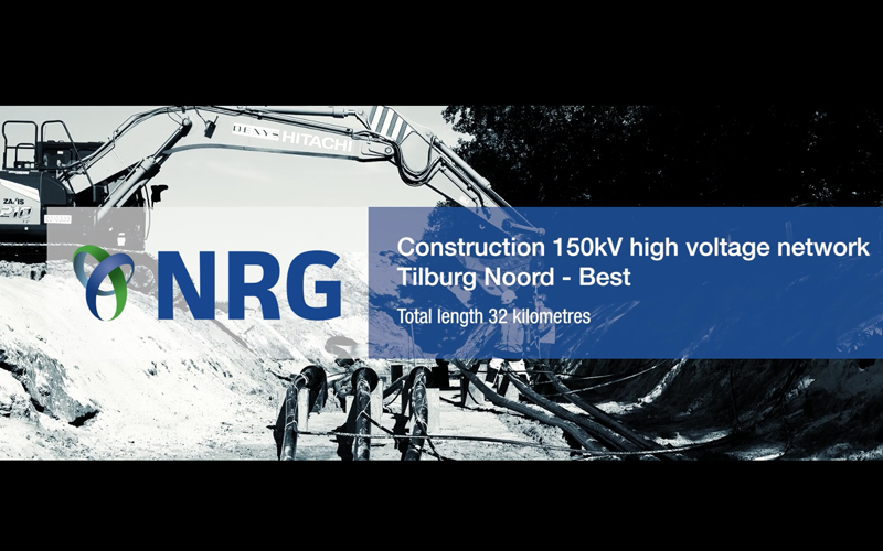
Bijzonder dat we dit hebben mogen uitvoeren in opdracht van NRG - TenneT. Een complete productie waar het project in woord en beeld wordt toegelicht. Met veel trots heeft het projectteam van TenneT/NRG (Alsema, Denys en Van Vulpen), het kabelproject
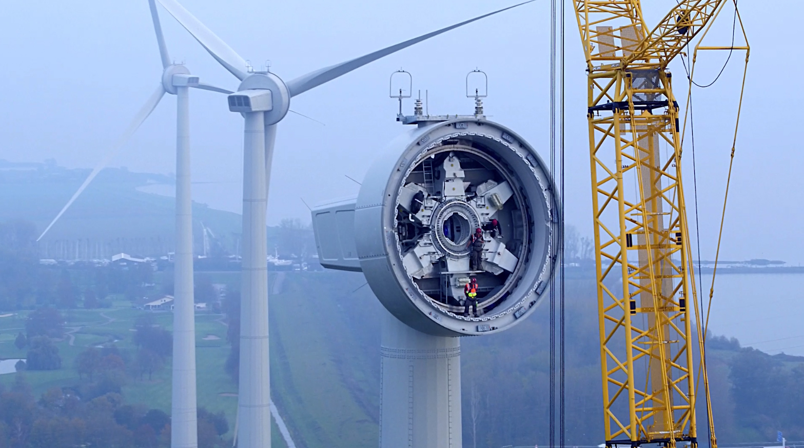
Dronevlucht heeft de bouw van Windpark Westerse Polder gedurende het hele project in beeld gebracht. Stoer werk en bijzondere momenten op hoog niveau. [embed]https://youtu.be/rEsnF8cIo8M[/embed]
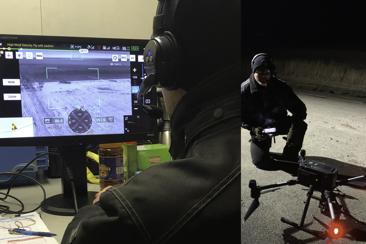
Dronevlucht heeft de beschikking, van Inspectie Leefomgeving en Transport, ontvangen om buiten Uniforme Daglicht Periode (UDP) drone activiteiten uit te mogen voeren. Dronevlucht heeft daarom ook haar vloot met drones uitgebreid met het nieuwste materieel op het gebied van inspecties
 Curabitur maximus porta ex, non vehicula felis. Fusce quis sollicitudin nisl. Proin commodo sollicitudin elit a gravida. Praesent hendrerit feugiat mauris, ac tincidunt nibh faucibus a. Suspendisse accumsan feugiat eleifend. Sed vestibulum eros sed magna placerat vehicula. Nunc ac semper orci.